Advisory Services for subsurface exploration using Full Tensor Gradiometry (FTG)
ZeroGeo Energy offers advisory services in the area of subsurface exploration to evaluate the potential for shallow and deep geothermal projects. We are the first and only company in Europe to have conducted an exploration campaign using FTG to evaluate the potential for geothermal energy.
ZeroGeo Energy offers advisory services in the area of subsurface exploration to evaluate the potential for shallow and deep geothermal projects. We were the first and only company in Europe to have conducted an exploration campaign using Full Tensor Gradiometry (FTG) to evaluate the potential for geothermal energy.
Why use Full Tensor Gradiometry for your project?
- FTG is a versatile tool to analyze and explore the subsurface with remarkable precision. The measurement is conducted using an airplane, making exploration campaigns non-invasive and deployable over various terrains. This encompasses areas where other exploration techniques face challenges, including locations with no road infrastructure, or densely populated areas. The latter predestines FTG for geothermal heat and storage projects near Swiss cities.
- FTG is significantly more cost-effective than 2D/3D seismic surveys and can easily be deployed over large areas, spanning several thousand km2. FTG being airborne, the time required to carry out a measurement campaign, even for large studies, is very low.
- FTG surveys provide good data quality, both for questions relating to the shallow subsurface and for investigations in depths of up to 4 km.
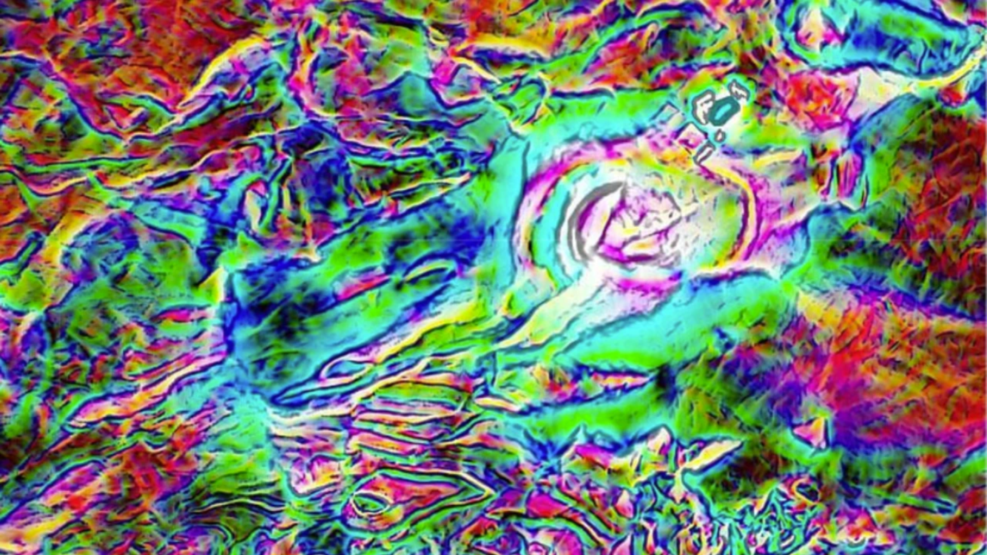
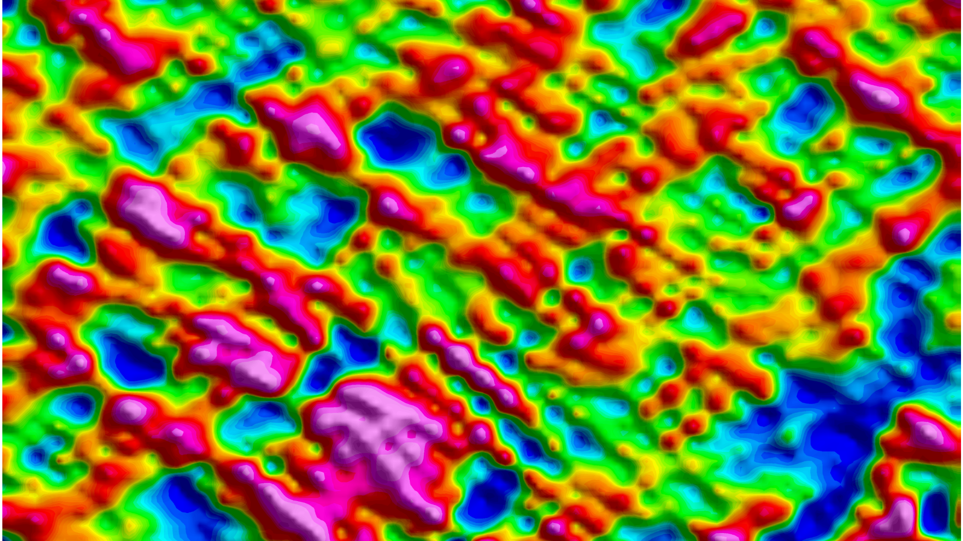
- FTG measurements offer multiple independent data sets, dramatically reducing uncertainty during data interpretation. This allows for higher resolution data and precise edge detection of subsurface structures.
What can you expect from an FTG survey?
FTG can detect lithological changes to:
- determine the geometry of a basin;
- map carbonates and salt deposits;
- map the depth of the basement.
FTG can detect structural shapes to:
- identify intrusive units;
- map sand channels;
- evaluate shallow hazards.
FTG can detect faults to:
- map the location of faults and determine fault patterns;
- measure fault offsets;
- map alterations and silicification of rocks.
Visit our website for more information.


